Teakerne Arm → Pendrell Sound
SW 2–11 kn, moderate breeze · sea 25.2°C · cabin 29°C
under way 10:10 — 18:10 · 5.1 hours on passage
Captain's Log
10:31
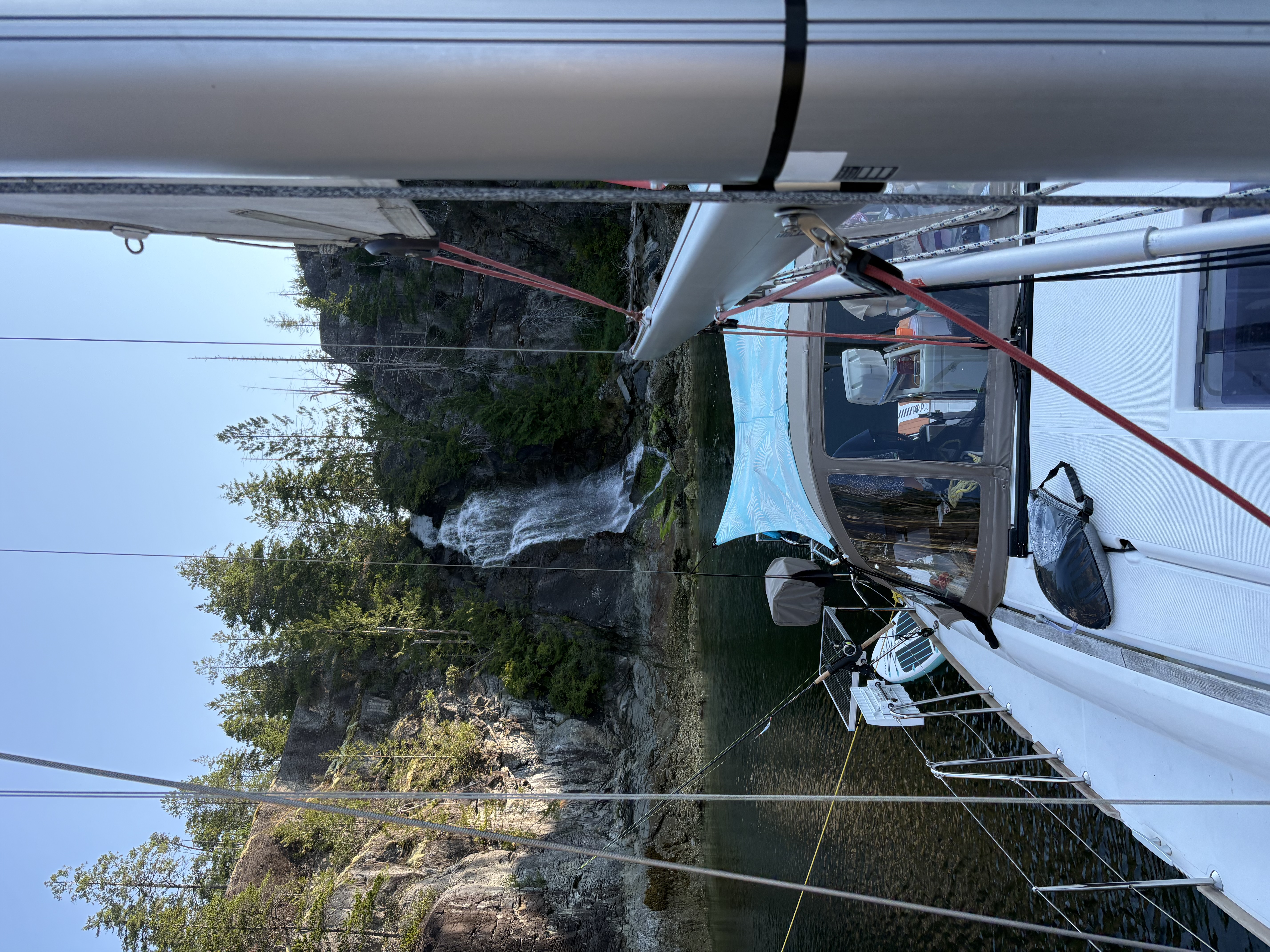
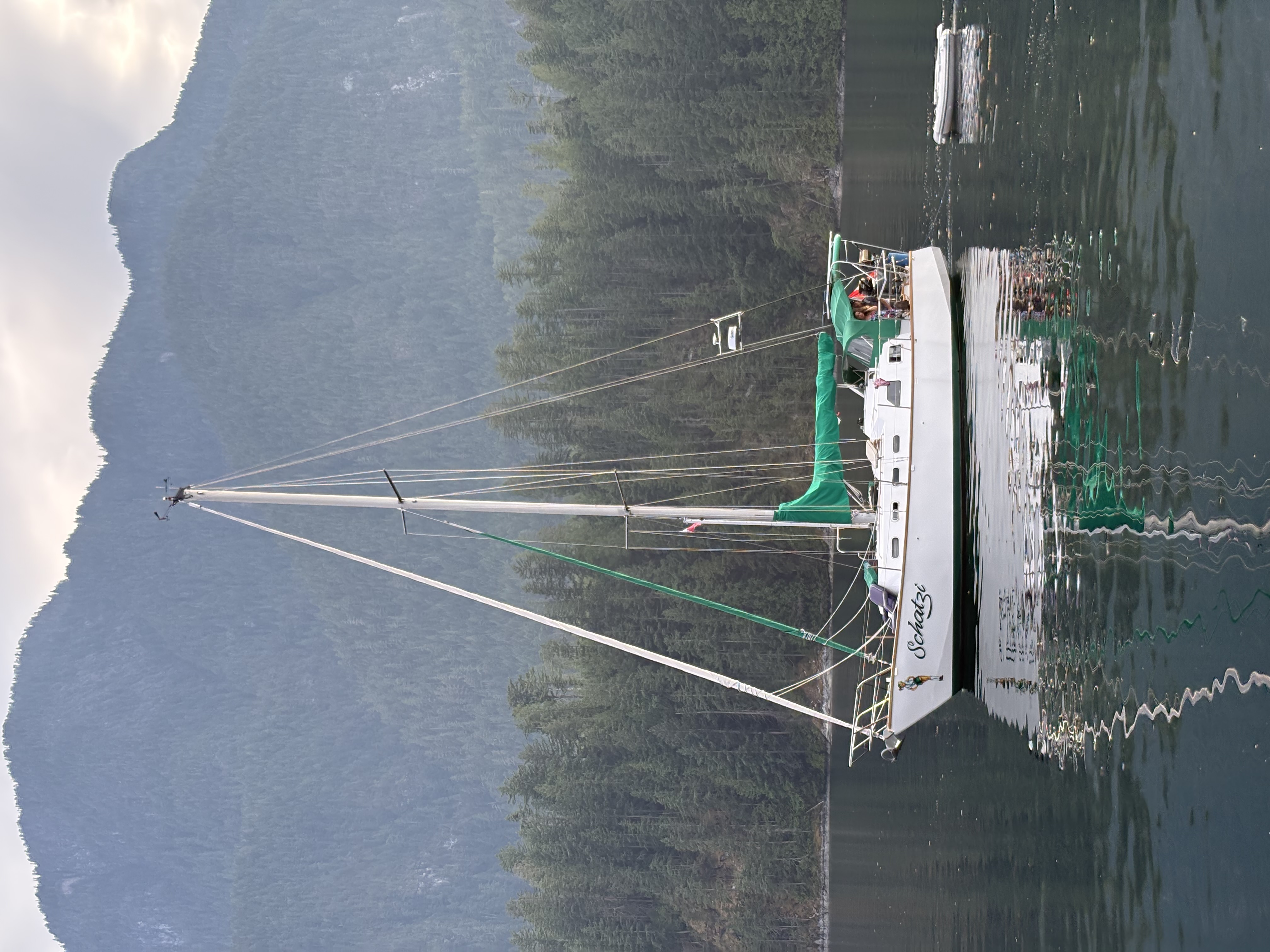
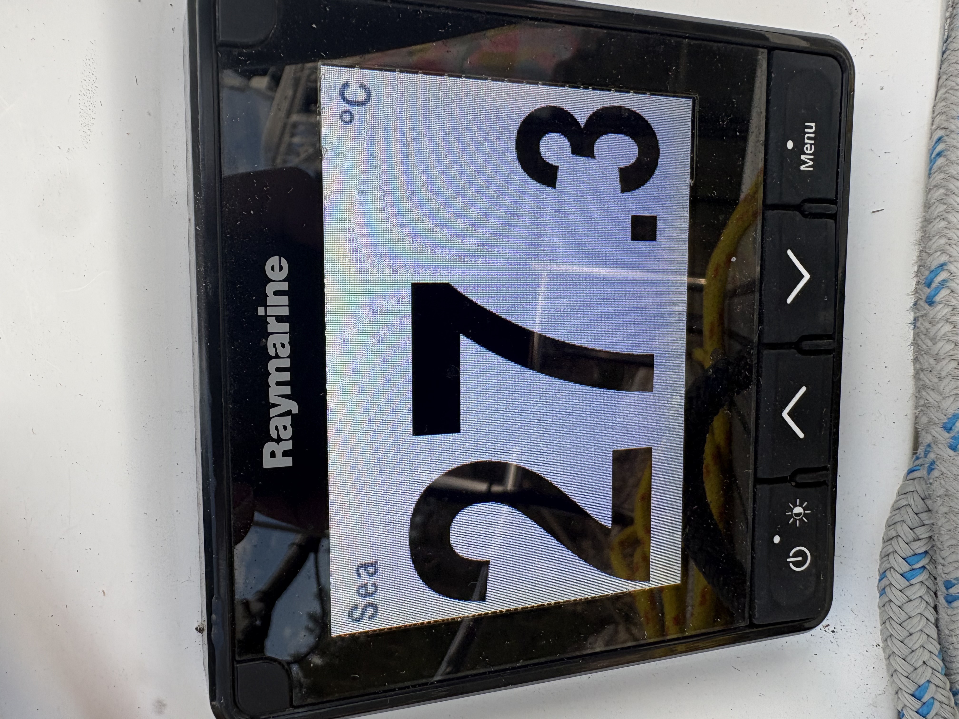
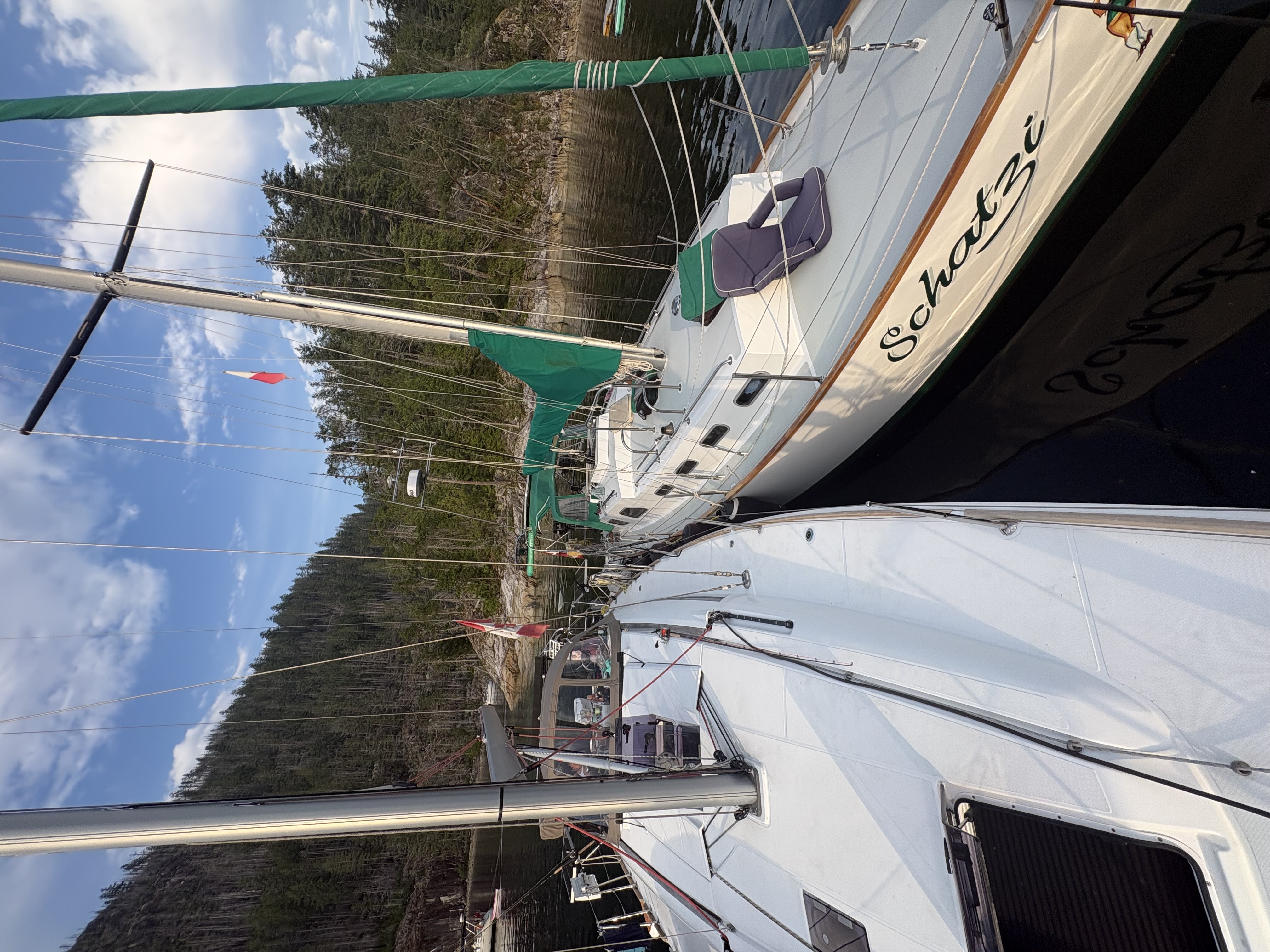
Left Teakerne around 10 and motored with a bit of sailing down to Refuge Cove for lunch and supplies. Met up with Schatzi and decided to go up Pendrell Sound for the first time. Arrived early evening and busy but found a spot just off the little island at the end of the sound. Water 27+ deg!
Filled up with water and gas at Refuge.
First Mate's Log
22:30
pasta bolognese
The Numbers
Teakerne Arm to Pendrell Sound via Refuge Cove, 22.4 NM made good (17.4 motored, 4.9 sailed) in 3.4h on the engine and 1.8h under sail. SW wind averaged 2.5 kn, gusting 11 — light passage. Max boat speed 8.2 kn. Water temp 25.2°C, air 29°C. House bank held 55–100% SOC on 2.7 kWh solar. Engine now at 860.6h total. 8.6 L fuel burned. Stopped at Refuge Cove for water and fuel. First trip up Pendrell Sound — anchored off the little island near the head.
Forecast — Strait of Georgia - north of Nanaimo
“Wind: Wind southeast 5 to 15 knots except southwest 15 near Qualicum Beach early this morning. Wind becoming light this afternoon then becoming variable 5 to 15 this evening except southwest 15 to 20 near Qualicum Beach. Wind becoming light after midnight then becoming variable 5 to 15 Friday evening except southwest 15 to 20 near Qualicum Beach.. Weather: Showers Friday evening.”
under sail · under power ·
from Teakerne Arm to Pendrell Sound
Plates