Vancouver → Montague Harbour
NW 7–15 kn, moderate breeze · sea 19.6°C · cabin 24.6°C
under way 07:31 — 14:26 · 7 hours on passage
Captain's Log
19:40
Left VRC at 7:20am with Simon on board. Nice to visit friends but very glad to be out of the city. Too many people and too busy this time of year.
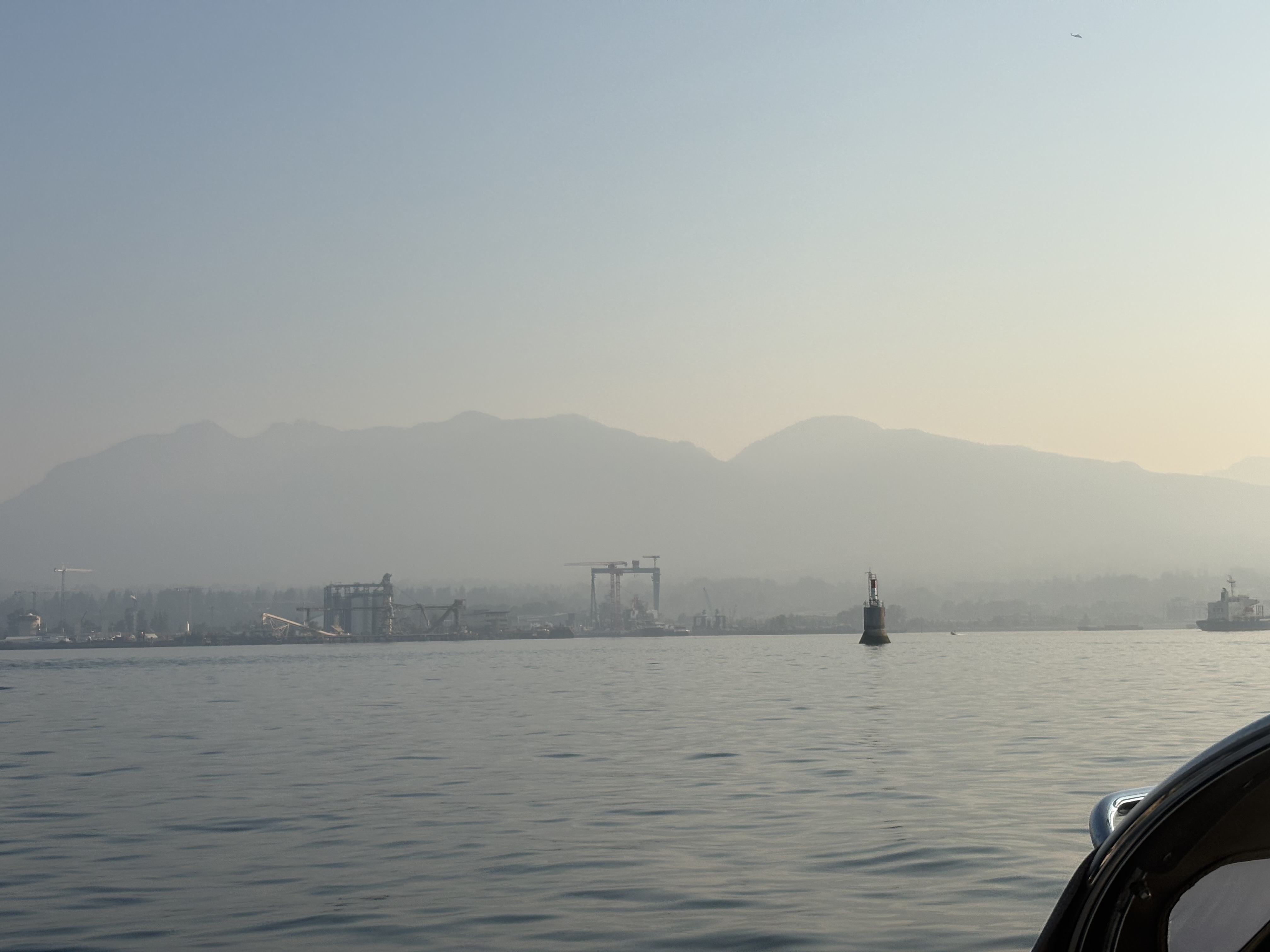
Motored out to English Bay and was able to put the sails up as English Bay merged into the Strait. Humpback whales greeting us as we turned the corner south along Spanish Banks.
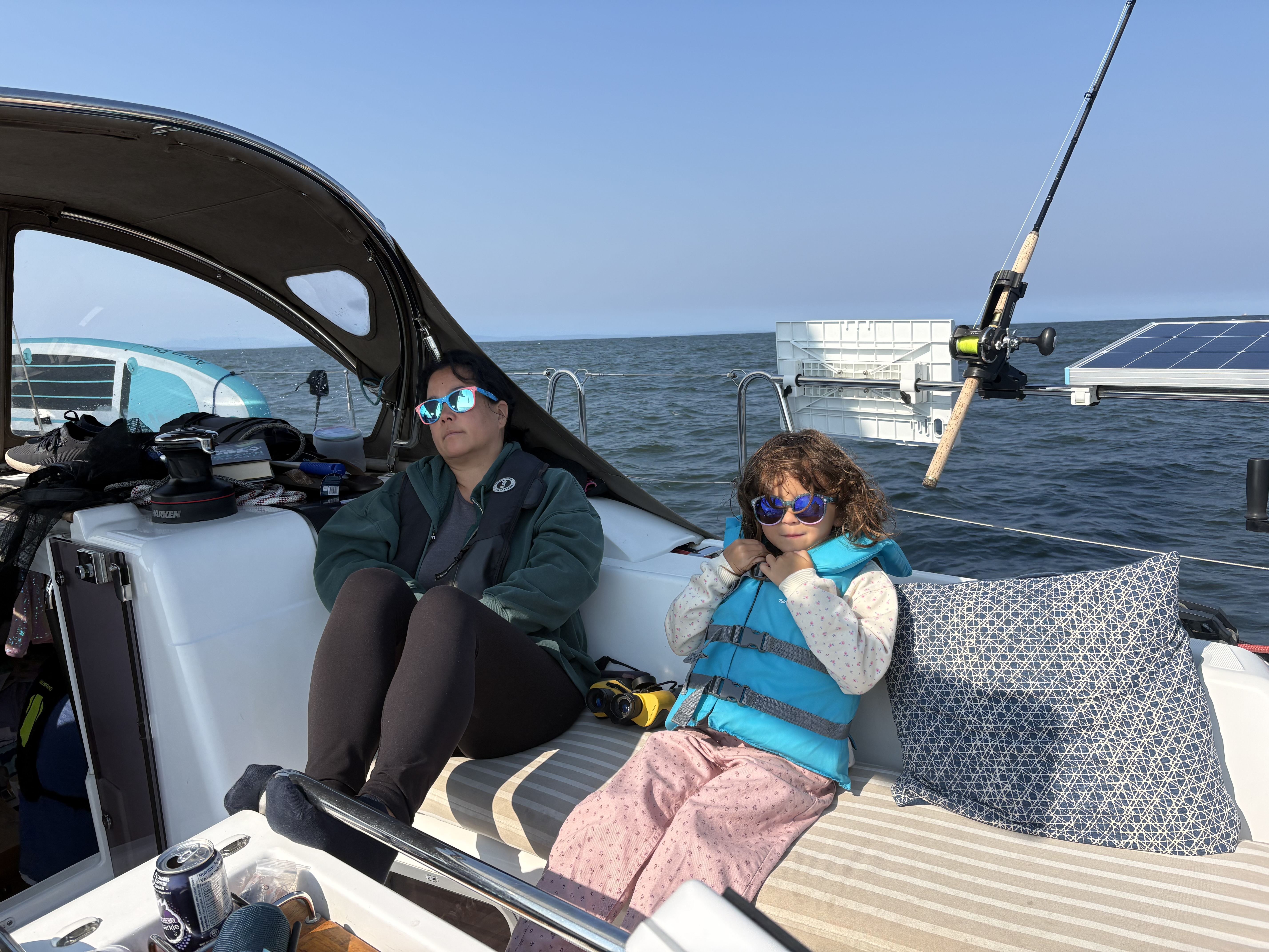
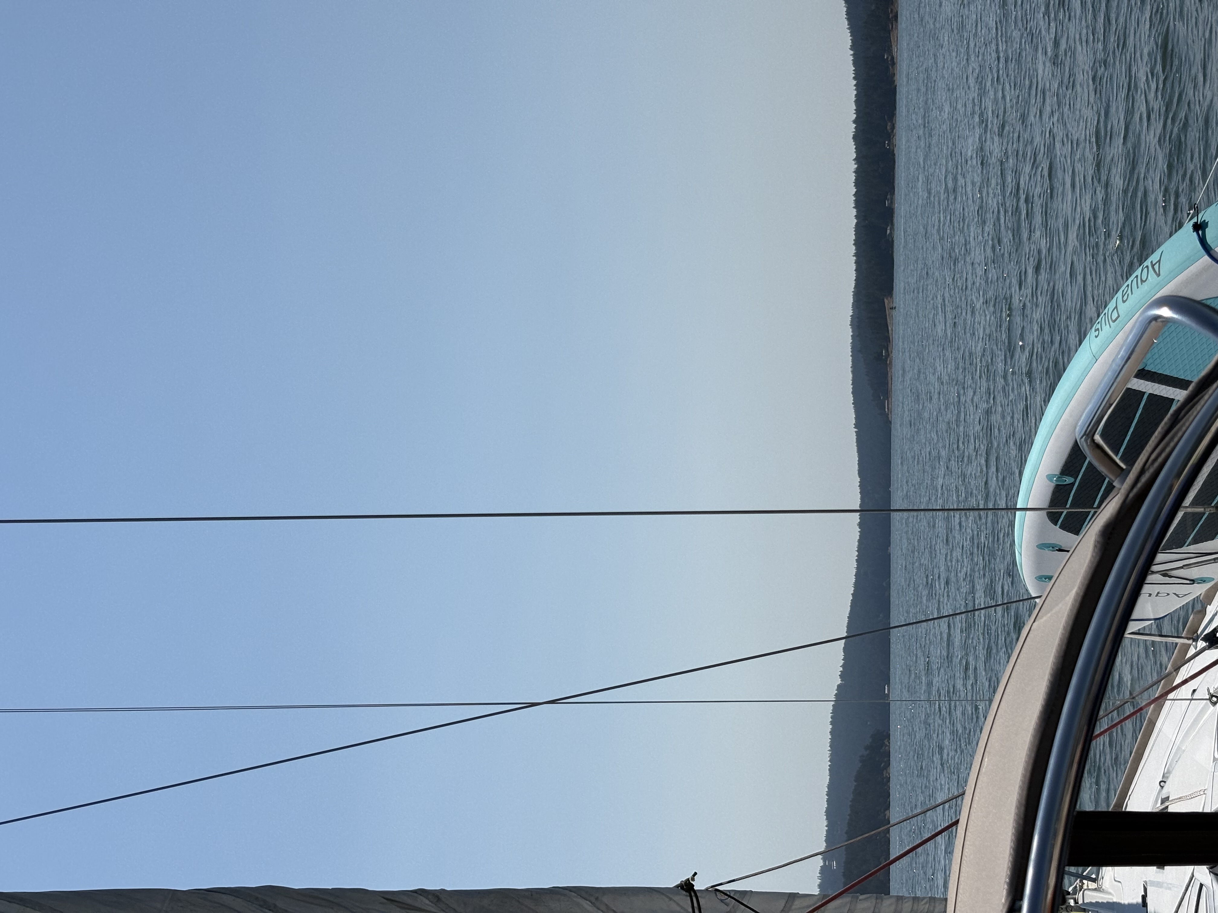
Had a lovely sail down the Strait on a broad reach hitting 7 kts several times. Was able to keep the sails up until about 4 miles from Active Pass when the wind died. Quite the swell and Judy was feeling rather green for most of the trip.
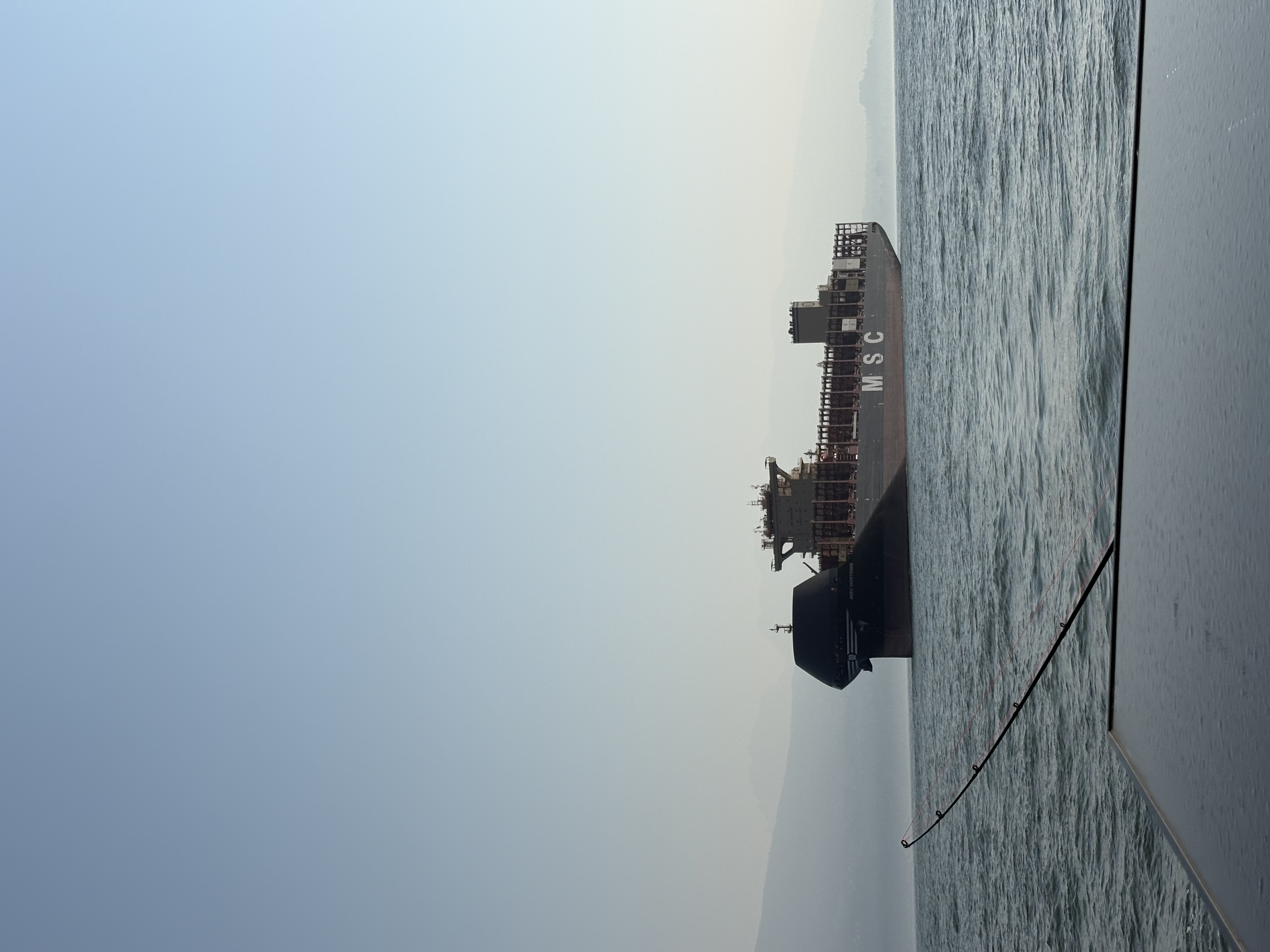
Motored through Active Pass and managed to miss all commercial traffic. The pass was completely empty, just saw the Nanaimo ferry approaching as we exited the pass.
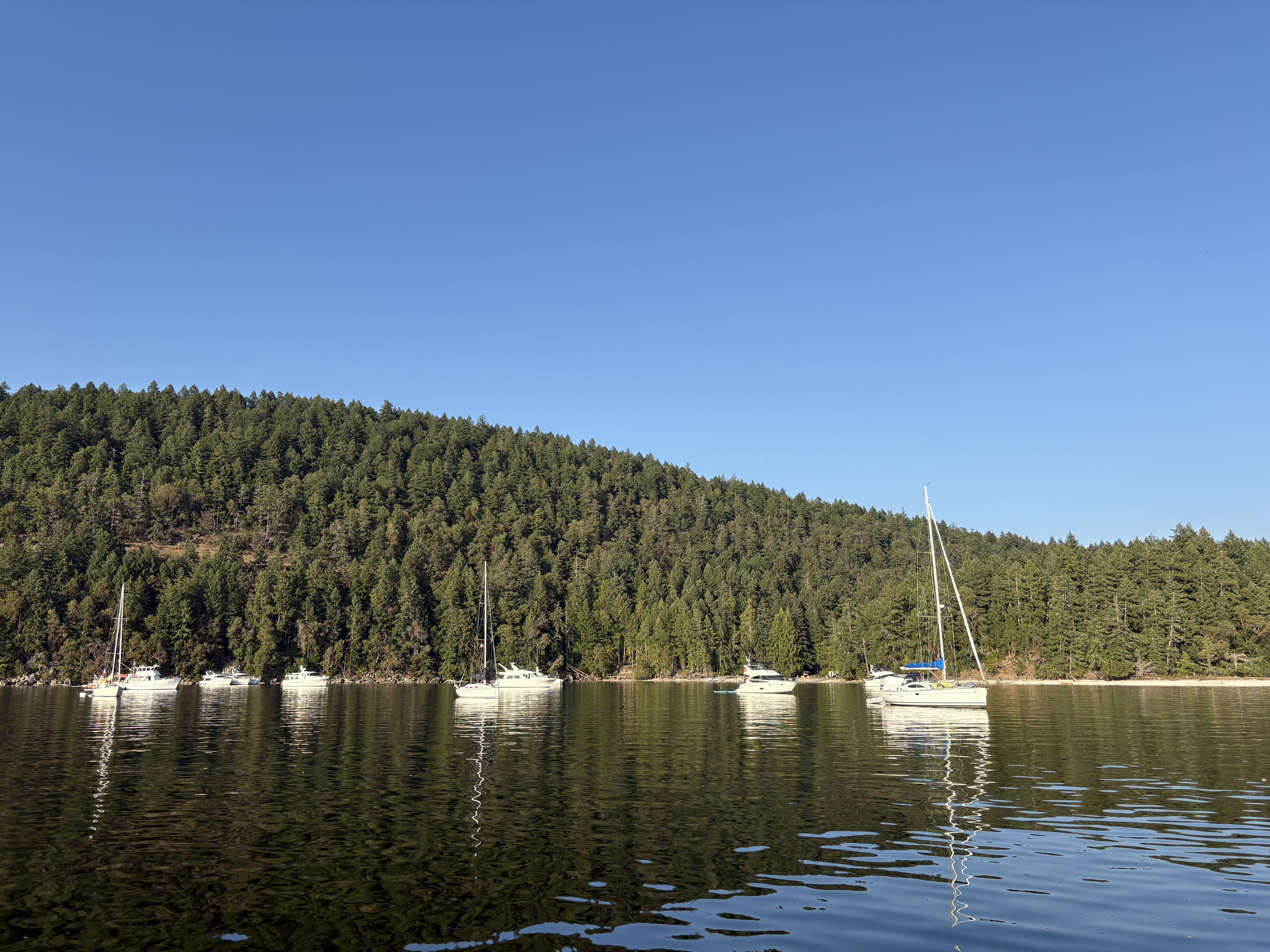
Motored the last mile or so to Montague Harbour and anchored in a medley of about 30 boats on the north side of the harbour on Sunset Beach.
First Mate's Log
08:00
Pan fried pork chops, corn, rice, and salad.
The Numbers
Vancouver (VRC) to Montague Harbour, Galiano Island, 41.4 NM made good — 19.8 sailed, 21.5 motored. Sails up as English Bay merged into the Strait; broad reach down the Strait hitting 7 kn several times (max 9.8). Wind died ~4 miles shy of Active Pass, so motored through — the pass was empty, with only the Nanaimo ferry approaching on exit. NW wind 7-15 kn, 24.6°C. Engine now at 870.6h, 12.8 L fuel. Anchored in the medley off Sunset Beach.
Forecast — Strait of Georgia - south of Nanaimo
“Wind: Wind northwest 5 to 10 knots increasing to northwest 15 to 20 Friday evening.”
under sail · under power ·
from Vancouver (VRC Marina) to Montague Harbour
Plates